

ATLANTIC & PACIFIC HURRICANE ACTIVITY & PREDICTIONS 2014
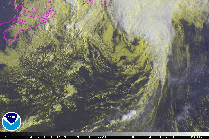
August 29 at 1115 UTC Cristobal passes by Nova Scotia
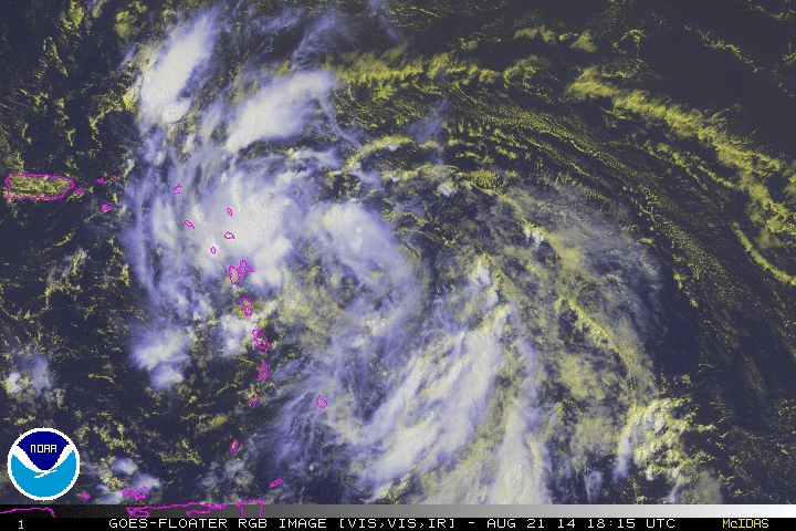
August 21 at 1815 UTC a low pressure area is now 275 miles east of Guadeloupe
Personal Insights
Observations
Even before Cristobal became a hurricane it unleashed strong winds and heavy rain in the Caribbean and was the cause of five fatalities.

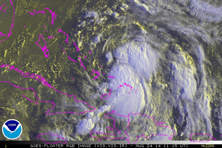
On August 22 a tropical disturbance is already bringing heavy rains and wind over Hispaniola and Puerto Rico
image by Aqua/MODIS
Hurricane Cristobal in the news
On August 14 I see from Atlantic satellite imagery an image that looks like another African Lion coming over to the Caribbean. By August 16 NOAA picks up an area of interest and begins monitoring it the next few days. The system is slow to develop but by the 20th they believe it will form into the next tropical cyclone and the big question is which way it will travel. Plots of 96L (see graph on left) give various scenarios. 96L develops into a tropical depression TD-4 and later forms into Tropical Storm Cristobal. He looks like a possum so I have some of his photos included on the left with captions. Hope you enjoy them.
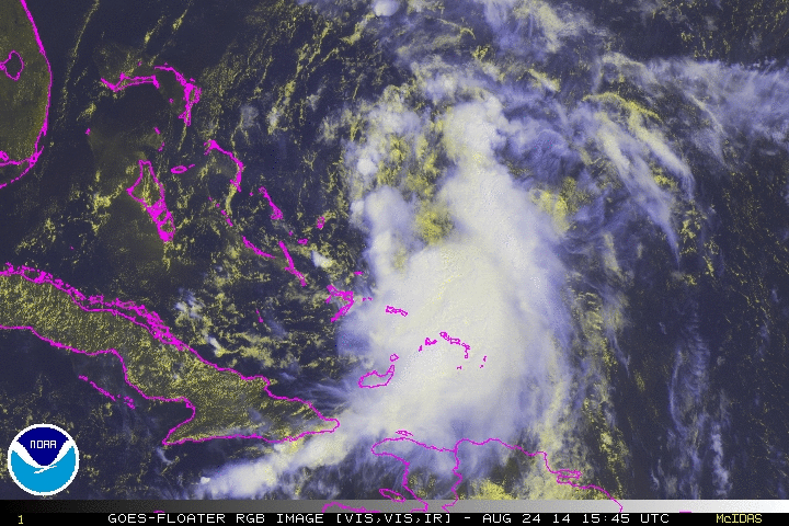
On August 16 NOAA states that shower and thunderstorm activity has developed in association with a broad area of low pressure located about 1000 miles west of the Cape Verde Islands. Some gradual development of this system is possible during the next few days while it begins to move slowly westward across the central tropical Atlantic. This system takes its time to develop and is over Turks and Caicos when it finally becomes a depression on August 23. About 24 hours later it becomes Tropical Storm Cristobal. But because it lingered so long over this part of the Caribbean it already brought much rain to Puerto Rico, Hispaniola, Turks and Caicos before moving on.
After lingering about the Caribbean for a few days Cristobal heads north and passes west of Bermauda as it picks up speed along the way.
Turks and Caicos Surviving Tropical Storm Cristobal - One Caribbean Report - Aug 27 2014. by Magnetic Media
The U.K. Meteorological Service (UKMS) noted that Cristobal could bring stronger winds across northwestern parts of Scotland and rain across the United Kingdom on Sunday, August 31 and Monday, September 1.
 |  |
|---|---|
 |  |
 |
On August 25 Cristobal strengthens into a hurricane while south of Bermuda. On August 26 it has maximum winds of 80 mph and is a fair sized cyclone with storm force winds extending outwards up to 240 miles. Swells caused by Cristobal are affecting Bermuda as well as the U.S. eastern coastline from Florida northward to North Carolina. Over the next couple of days Cristobal passes between Bermuda and Nova Scotia all the while remaining at hurricane force strenght. Late August (2300 AST) Cristobal is racing towards the North Atlantic at 46 mph and sustained winds of 85 mph.
