

ATLANTIC & PACIFIC HURRICANE ACTIVITY & PREDICTIONS 2014
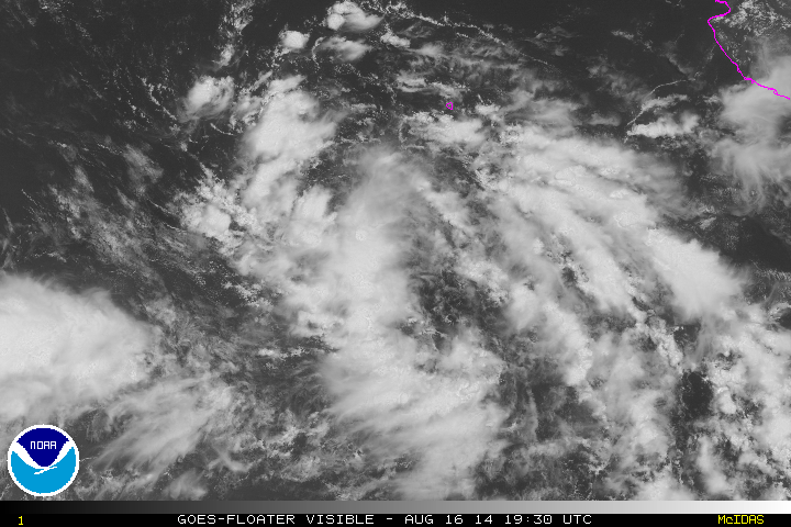
August 16 - a wide area of low pressure slowly getting organized

Hurricane Lowell on
August 21 at
1100 PDT (1800 UTC)

Lowell's track from August 17 to August 24
Personal Insights
Observations

Lowell becomes the seventh hurricane of the 2014 season in the eastern North Pacific
Tropical Depression 12-E formed on August 17 and just by looking at the satellite images of the low pressure area the past couple of days it was easy to see that this system was going to be big in size. On August 18 the "sprawling depression" as NOAA called it, becomes Tropical Storm Lowell and already the storm force winds were extending 140 miles out from the centre. Even though it was large in size I didn't have a sense of it becoming a threat to land. I guess like his earlier cousin, Hernan, Lowell will just linger about in the ocean flexing a bit.
And like Hernan, Lowell becomes a Category 1 Hurricane but continues to meander about in the ocean far from any land.
On August 15 NOAA states that an area of low pressure is forecast to form a few hundred miles southwest of the southern tip of the Baja California peninsula. Its given a 30% chance of becoming a cyclone in the next 5 days. On August 17 Tropical Depression Twelve-E forms and becomes Tropical Storm Lowell the following day.
Lowell continues to move in a northwesterly direction away from land and safely out at sea. On August 21 he intensifies into the seventh hurricane of the season for the eastern Pacific basin. Its life as a hurricane is short lived, only 12 hours, before becoming a tropical storm once again. On August 21 he enters colder waters and by August 23 becomes a remnant low.

August 21 at 1145 PDT(1445 EDT)
On August 21, 1845 UTC (2:45 p.m. EDT) Lowell is captured on satellite imagery as a Category 1 Hurricane. Credit: National Aeronautics and Space Administration: Image by Terra/MODIS